About Guryon Geo-Scientific Services
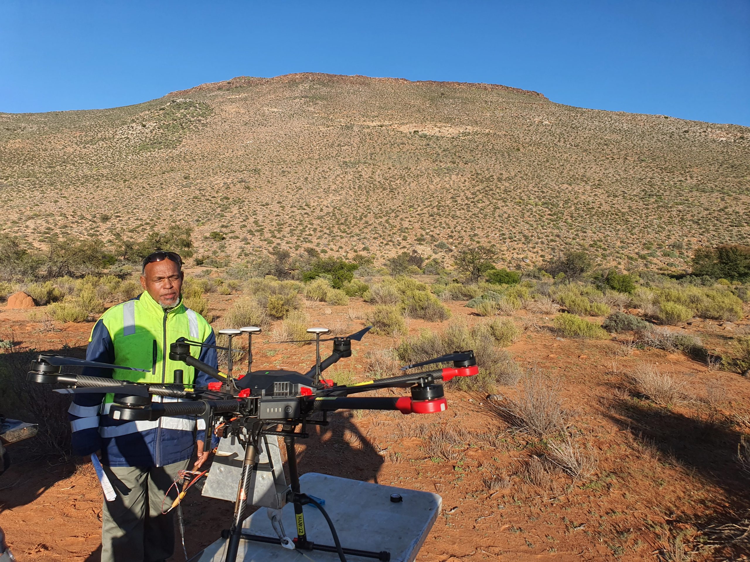
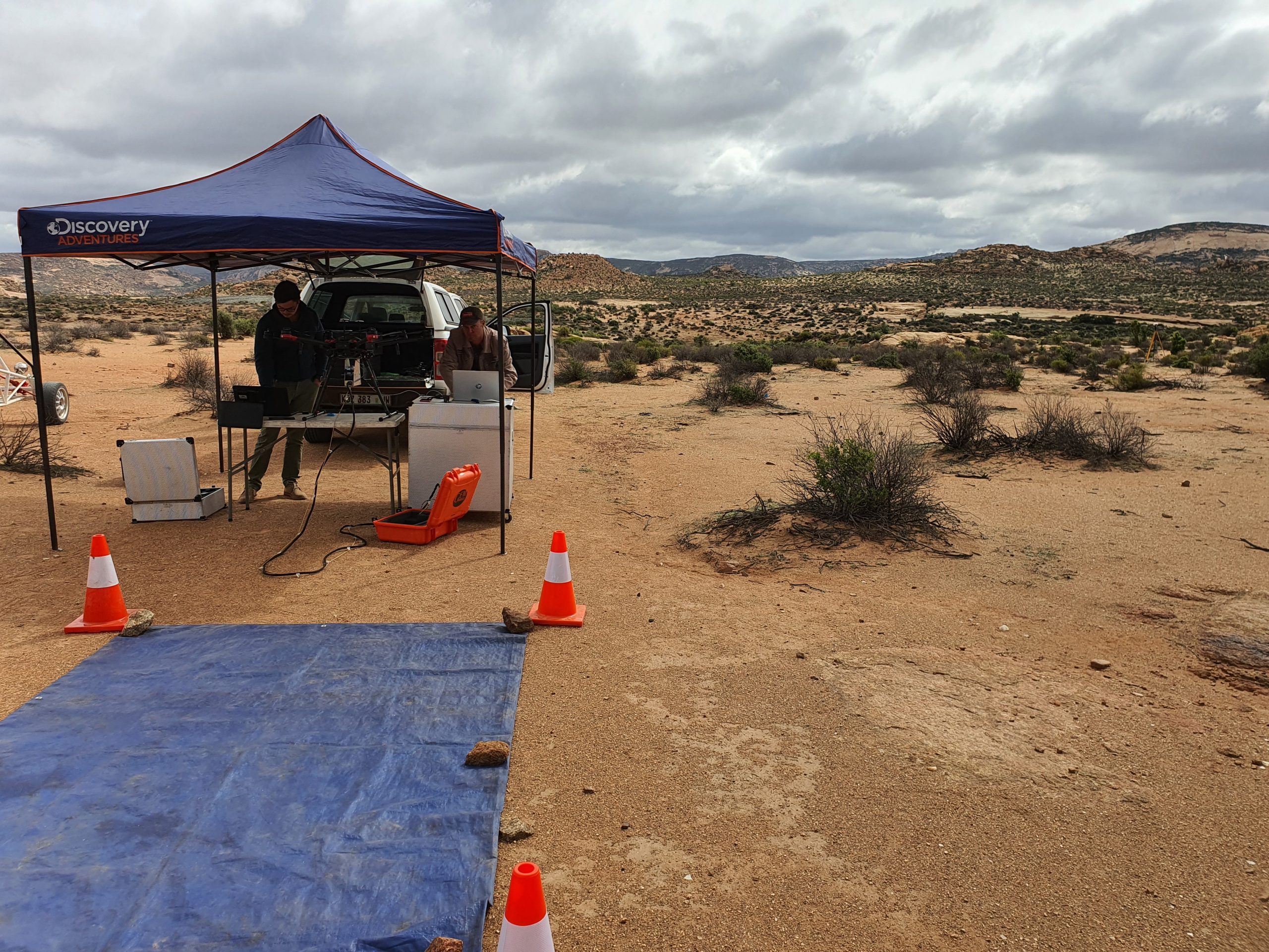
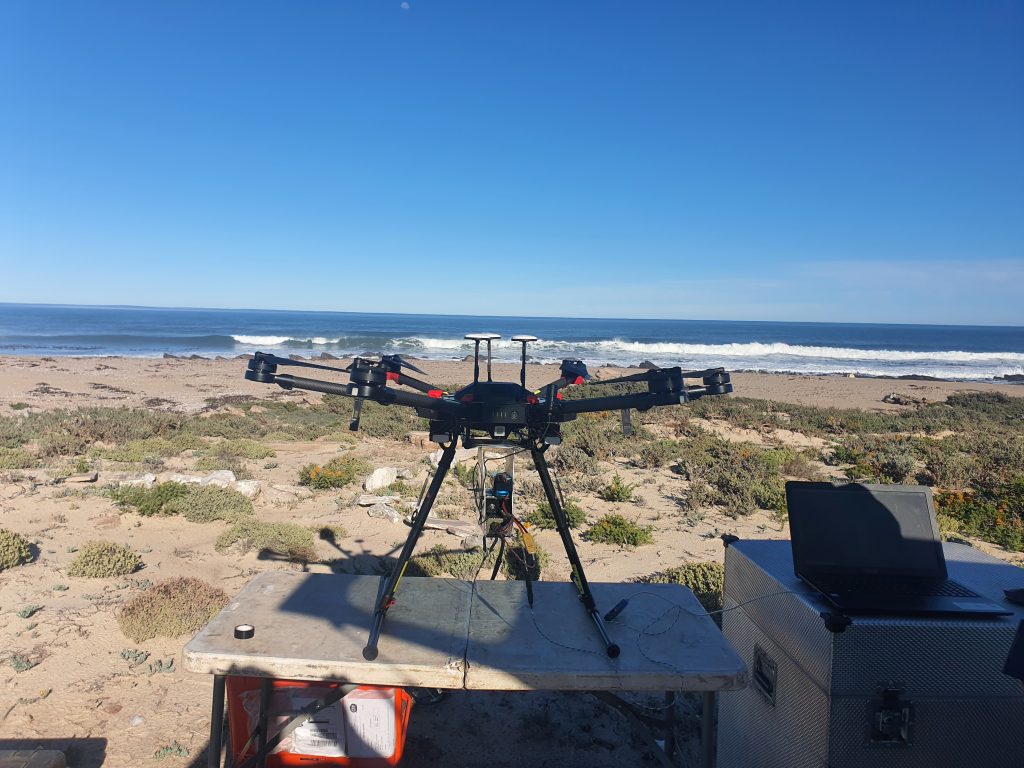
Founded in 2017, Guryon (Pty) Ltd is a leading provider of professional drone magnetic and related geo-scientific surveys. We specialize in delivering high-resolution, cost-effective data for mining, exploration, and environmental projects across Southern Africa.
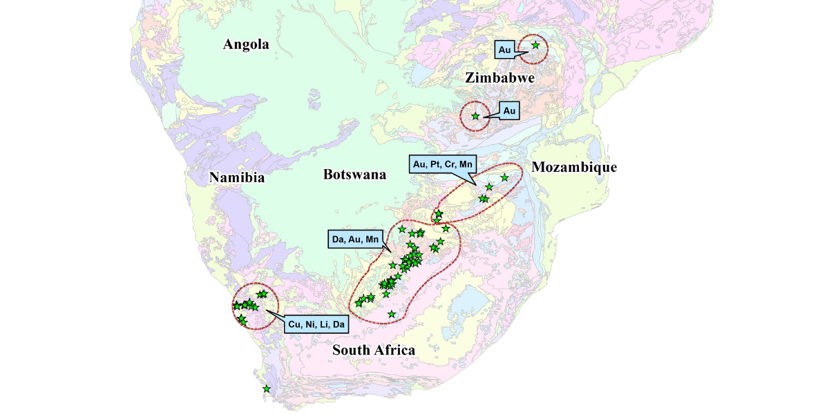
Our team combines decades of geological expertise with the latest in unmanned aerial technology, offering clients a safer, faster, and more accurate alternative to traditional ground and airborne surveys. From alluvial and kimberlitic diamonds to manganese, copper, and gold, Guryon has successfully completed thousands of hectares of surveys for a diverse range of clients.
We are committed to legal compliance, safety, and innovation—operating in association with RPAS Consulting (Pty) Ltd and fully registered with SACAA. Our mission is to empower our clients with actionable insights, detailed mapping, and reliable data to drive smarter decisions and successful projects.
What Sets Us Apart
Expertise You Can Trust
Decades of hands-on geological and exploration experience, ensuring reliable and insightful survey results.
Innovative Technology
State-of-the-art drones and sensors deliver precise, high-quality data for every project.
Safety & Compliance
Strict adherence to aviation regulations and best practices, prioritizing safety and legal compliance on every job.
How we work
Consultation & Planning
Data Acquisition
Data Processing & Analysis
Reporting & Delivery
Legal Compliance & Accreditations
Guryon Geo-Scientific Services is fully committed to legal compliance and industry best practices. We operate in association with RPAS Consulting (Pty) Ltd and are registered with the South African Civil Aviation Authority (SACAA) as a Remotely Piloted Aircraft System (RPAS) operator.
Our drone pilots are licensed and certified for both VLOS (Visual Line of Sight) and BVLOS (Beyond Visual Line of Sight) operations, ensuring every project is conducted safely and in accordance with all regulatory requirements.
We prioritize safety, transparency, and professionalism—giving our clients peace of mind on every survey.
Our Clients
Frequently Asked Questions
We specialize in drone-based magnetic surveys, photogrammetry, geological mapping, and environmental monitoring for mining, exploration, and related industries.
Our surveys deliver high-resolution, geo-referenced data with industry-leading accuracy, thanks to advanced sensors and rigorous quality control.
Yes. We are fully registered with the South African Civil Aviation Authority (SACAA) and operate in association with RPAS Consulting (Pty) Ltd. All our pilots are licensed for VLOS and BVLOS operations.
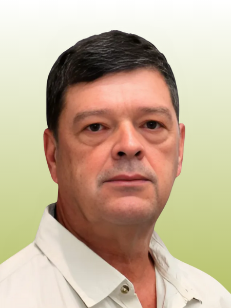
Met Expert Team

Dehan Vermaakt
Tim Vermaakt